Our study began in 1999, and field work has included both multi-week field projects where we head out on the water every day (or almost every day), and, since 2020, rapid-response efforts off Kona when high-priority species are reported. Most years we have multi-week field projects off two or three different island areas. In 2024 we had field efforts off Kaua‘i, Lāna‘i, and Hawai‘i Island, and in 2025 we have work off Hawai‘i Island, Kaua‘i, and possibly O‘ahu. For most multi-week projects we post regular updates on what we are seeing and what we are accomplishing in the field – you can find links to these below. You can also get updates on all of Cascadia’s activities by following us on Facebook.

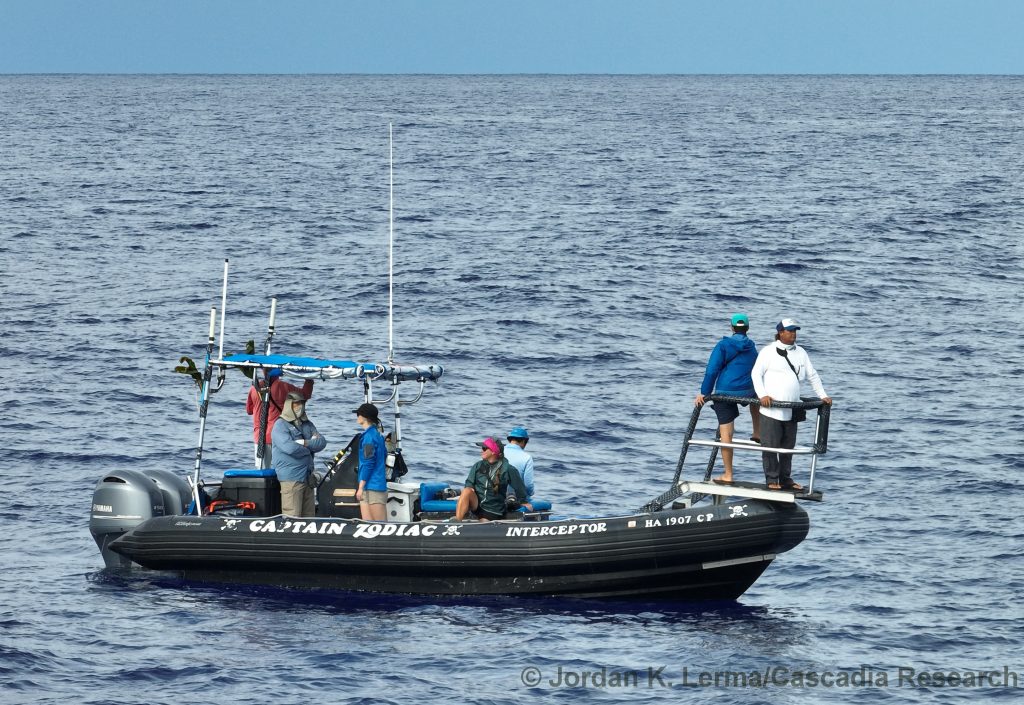
For the last few years we’ve been partnering with Captain Zodiac off Kona and using one of their vessels for our primary research vessel, both off Hawai‘i Island and occasionally off other islands, adding a custom-made bow pulpit to provide an elevated platform for sighting animals, photography, and collecting samples.

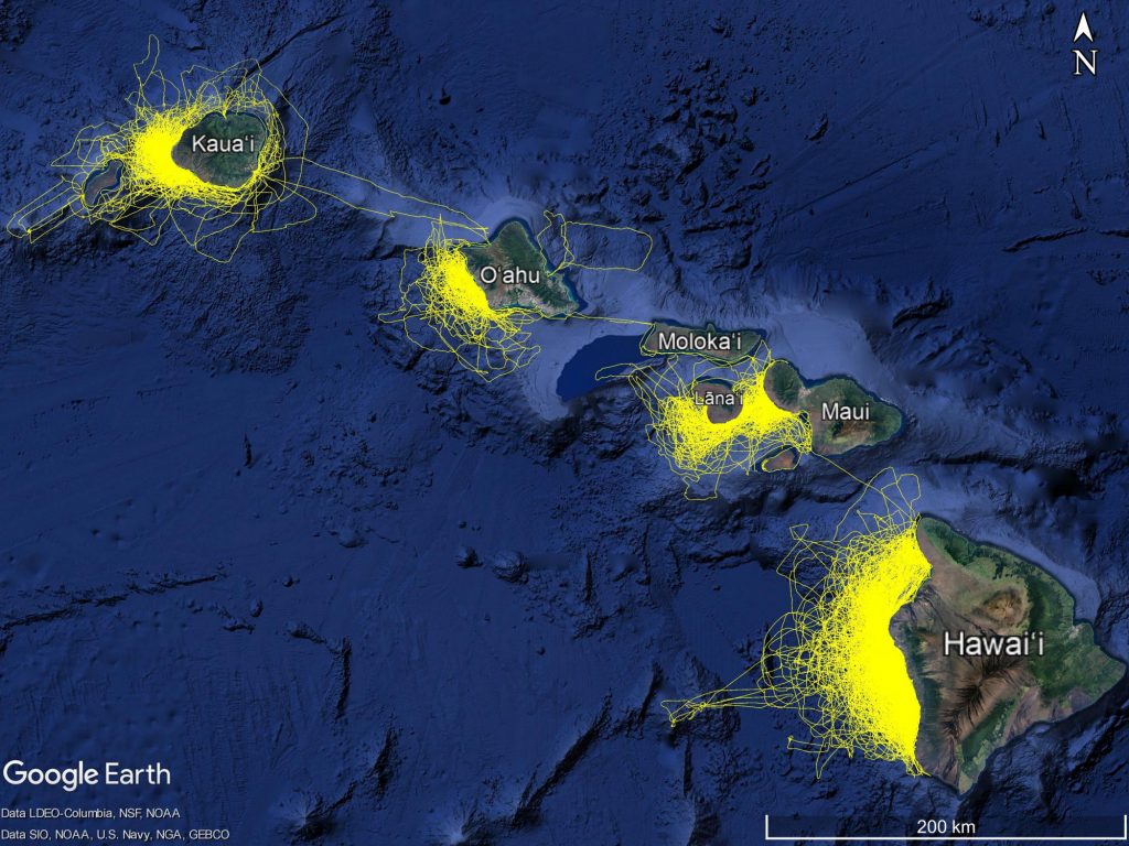
We’ve worked off all the main Hawaiian Islands, and occasionally in between them, although most of our survey effort is on the leeward (west) sides of the islands. The yellow lines on the map above represent the vessel track (recorded at 5 minute intervals) in our work from 2000 through 2020. We do not follow standard line transect methodology, with pre-determined tracklines often following a zig-zag pattern, but instead try to maximize encounters by surveying in areas with good sea conditions (Beaufort 2 or less). While doing this, we try to minimize spatial bias in our effort, covering as broad an area and wide range of depths as possible (both along the island coastlines and offshore) when weather conditions allow. For example, when off Hawai‘i Island one day we may head north, the next day south, and the third day offshore, and if we are forced to go south (due to weather) multiple days in a row, we may go south one day in 800 m depth and then north in 2,000 m depth, then the next day go south in 2,500 m and north in 1,200 m, and so on.
Updates from most of our previous field projects since 2006 can be found below
Below is a table summarizing our survey effort by island area, up-to-date through December 2024:
| Island Area | # Years effort | # Days effort | # Km effort | # Sightings | Most frequently encountered species |
| Hawaiʻi Island | 23 (2002-2024) | 859 | 107,173 | 2,489 | Short-finned pilot whale, Pantropical spotted dolphin, Rough-toothed dolphin |
| Maui Nui | 11 (1999-2024) | 281 | 27,478* | 585 | Common bottlenose dolphin, Pantropical spotted dolphin, Humpback whale |
| Oʻahu | 8 (2002-2024) | 86 | 9,940 | 214 | Pantropical spotted dolphin, Rough-toothed dolphin, Short-finned pilot whale |
| Kauaʻi/Niʻihau | 16 (2003-2024) | 244 | 27,092 | 803 | Rough-toothed dolphin, Common bottlenose dolphin, Spinner dolphin |
*Kilometers of effort from 1999 are estimated based on average distance covered per hour off Maui Nui in 2000-2002

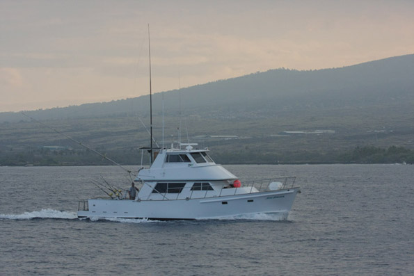
The 50′ New Horizon, owned by Bali Hai Sportsfishing. We used this vessel for offshore surveys in 2006 and 2008
Want to see what we record in the field? You can download our two primary data sheets (sighting sheets and event logs) below.
Sighting sheet with tagging and biopsy information (blank)
Example of a completed sighting sheet (as it is filled out in the field, and after the end of data processing)
Event log to record effort, weather and sample information (blank)
Example of a completed event log (as it is filled out in the field, and after the end of data processing)
We also record and photograph sea turtles, whale sharks, oceanic mantas, and seabirds when out on the water, and pass on records of unusual species to biologists studying those species. For more information see our sea bird page and our sea turtle page